fiñv
['fĩ:v] — ‘movement’ in Breton
['fĩ:v] — ‘movement’ in Breton
Volcanoes, water, soils and climate: I connect physical processes with satellite data to understand how landscapes change.
Featured · Garonne · February 2026
Through the clouds, radar reveals the flood. Explore its story through images, time and river flows.
See · Follow · CompareSentinel-1 · CEMS · Hub’Eau
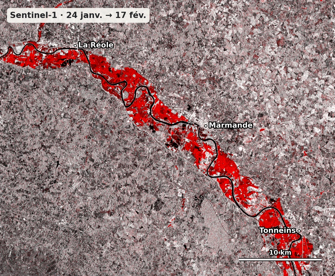 24 January → 17 February 2026 · change in radar signal
A perspective on changing landscapes
Explore real cases, then the methods that help explain them.
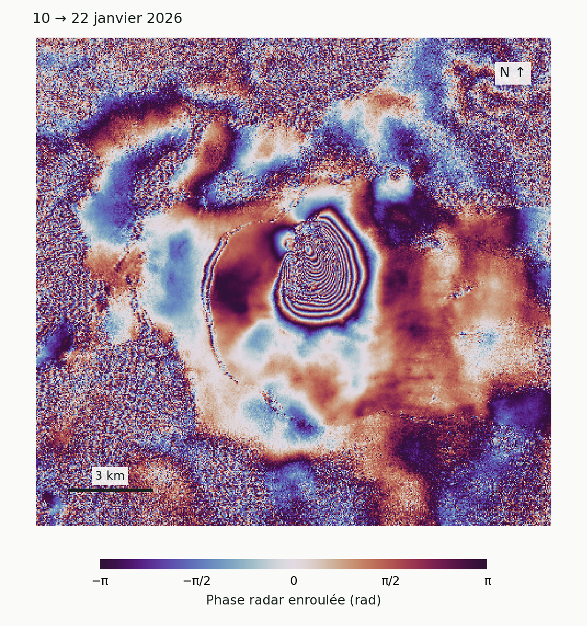
Piton de la Fournaise · La Réunion
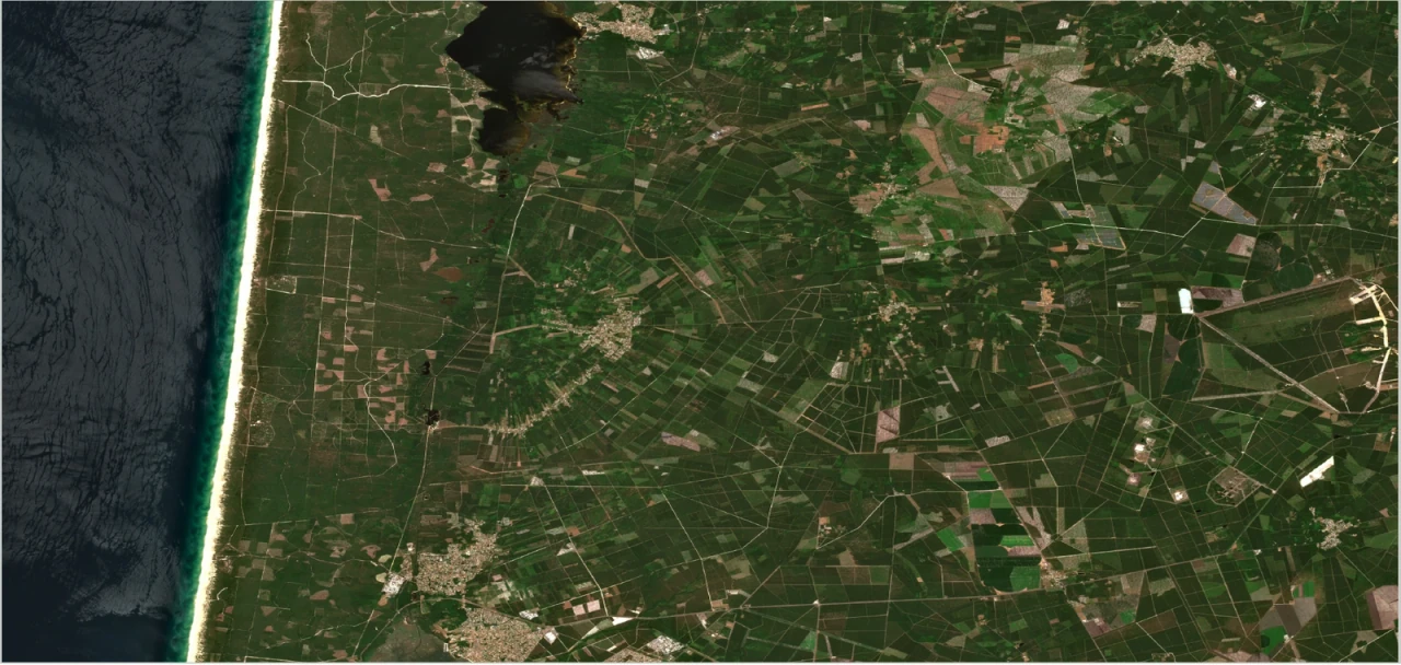
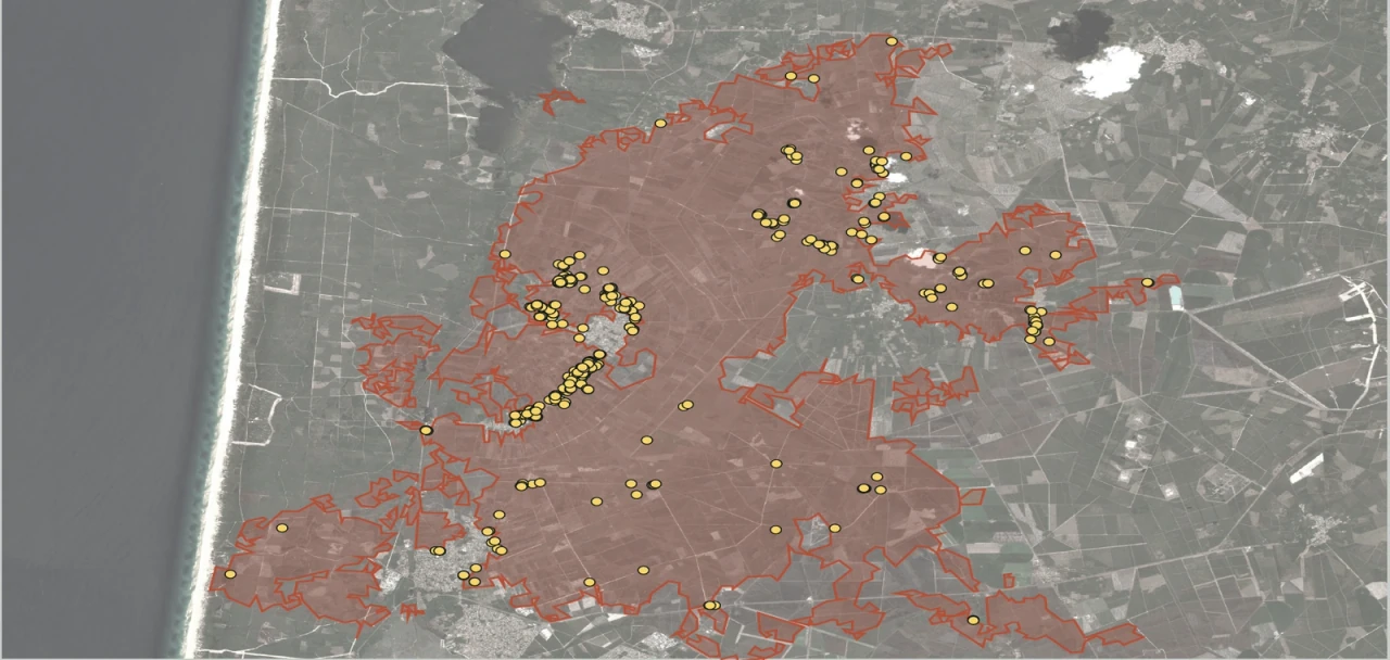 23 June 2026 · before12 August 2026 · after
Sentinel-2 · same landscape, same extent
Saumos · Gironde
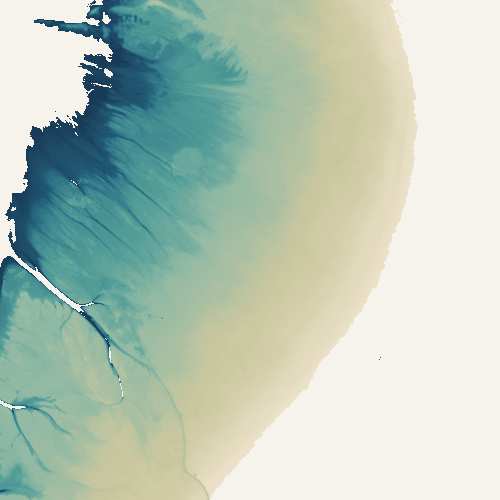
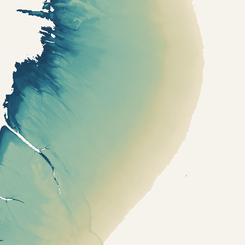
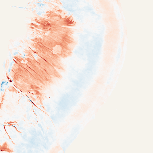 2020–2022 2023–2025
Saint-Froult · Charente-Maritime
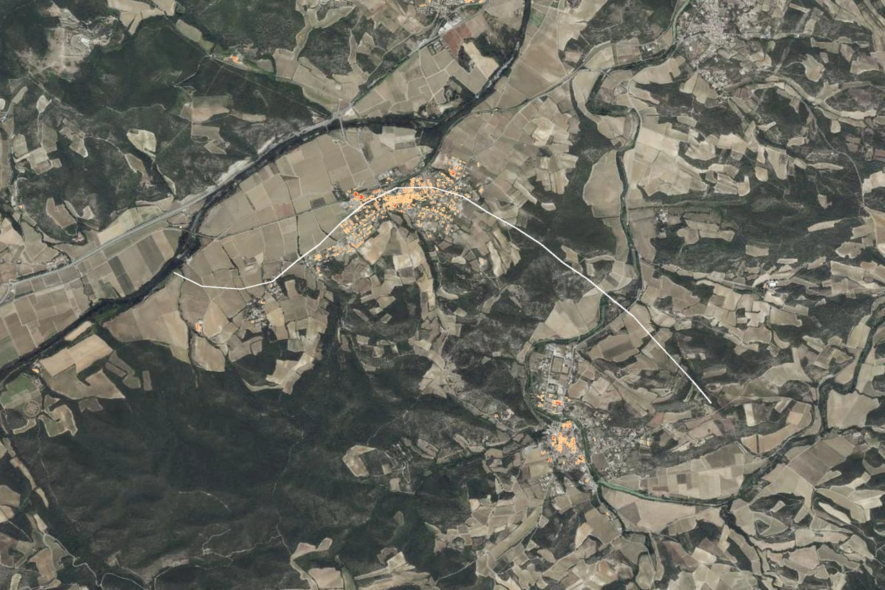 IGN aerial imagery13–25 August 2026 · buildings
Buildings associated with the radar signal · path shown in white
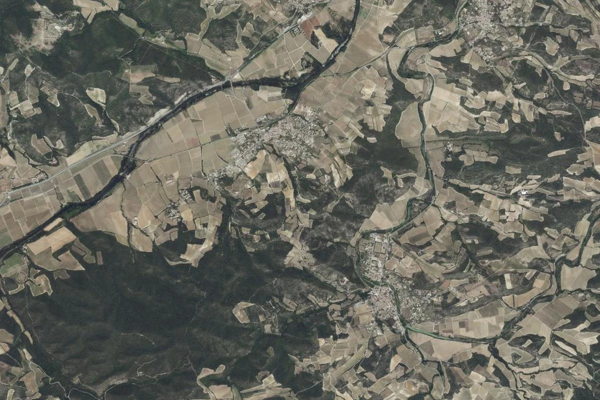
Pomas · Aude
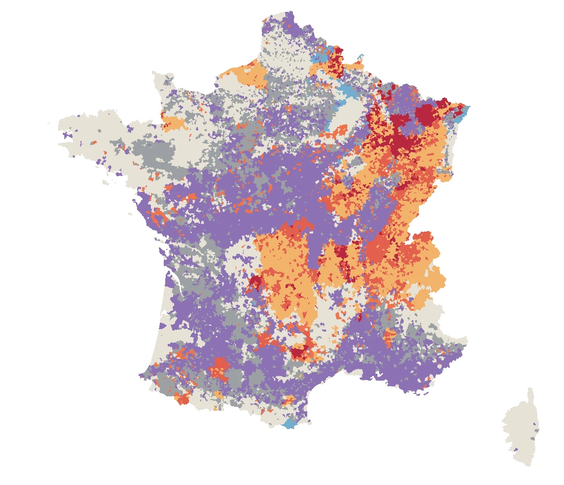
France · Municipality typology · 1995–2025
Nouvelle-Aquitaine · 58 ten-year windows
A tool for exploring official decisions
Explore official natural-disaster recognition decisions, find a municipality and understand the context of a publication.
The clay shrink–swell map shows the latest national publication. A municipality’s absence from that publication does not mean its application was refused.
Nicolas Le Corvec · Geoscientist and data scientist
My work began with volcanoes: understanding deformation, fractures and magma pathways. It developed through international research, physical modelling and geospatial data analysis.
Three years as a geotechnical expert investigating drought damage caused by clay shrink–swell brought that work into the field. This experience informs my work with fiñv today: combining satellite imagery, geology and climate to understand ground motion, water and natural hazards, then making the results clear and useful.
Discuss · Study · Build
A process to understand, data to interpret or a method to develop: let’s start with your question.
nicolas@finv.earth ↗